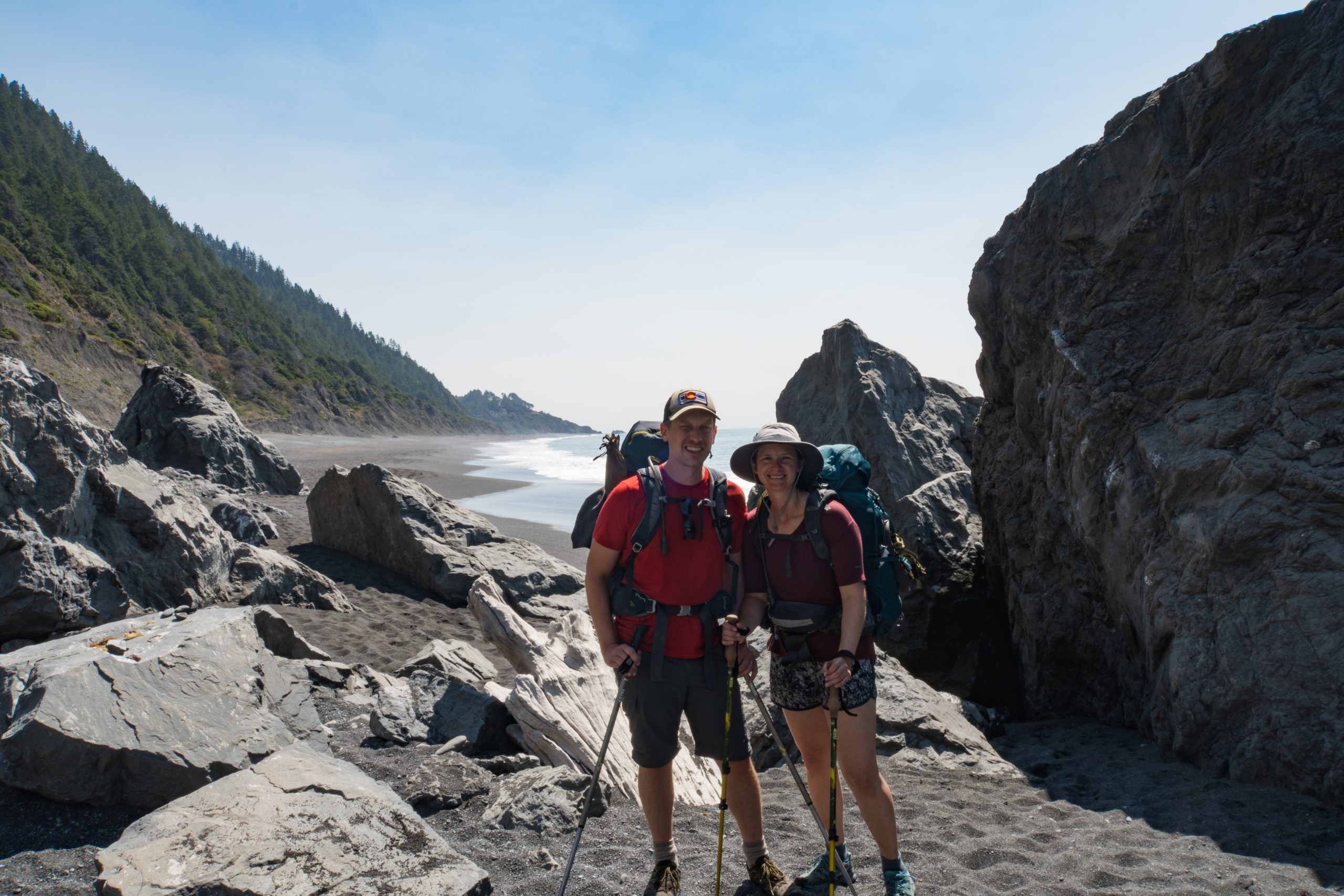
We hiked the Lost Coast Trail over Labor Day Weekend 2020 having reserved our backcountry permits back in January. The Bureau of Land Management (BLM) cancelled permits through the beginning of June due to COVID but luckily the trail reopened in time for our trip. The BLM limits visitors to 60 per day and slots can be reserved several months in advance. The Lost Coast is the longest undeveloped stretch of coastline in the contiguous US where the King Mountain Range meets the Pacific Ocean, so we were excited for a coastal wilderness experience.
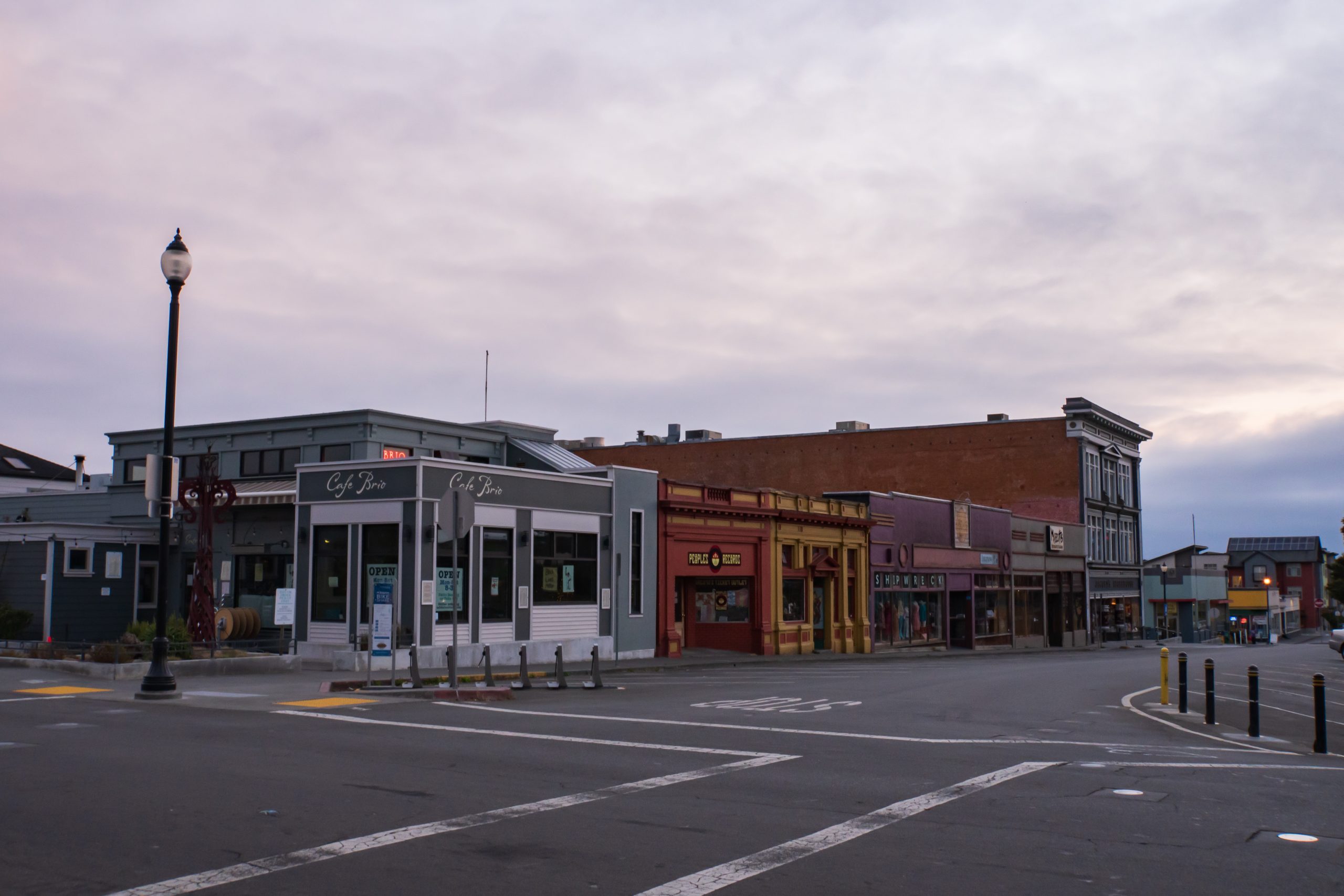
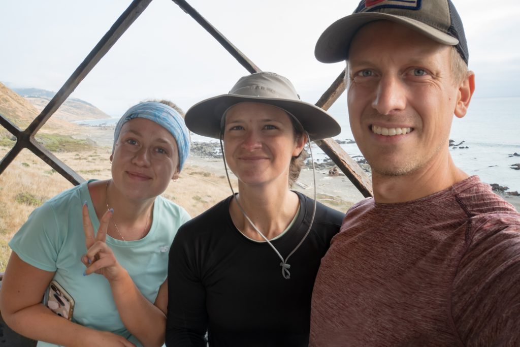
We flew into Arcata/Eureka Airport in Northern California and stayed the night in Arcata to pick up fuel, food and other supplies. We also met up with Nico’s sister Jenna, who was joining us on the trip. After a 2-hour drive, we parked the rental car at the trail’s southern terminus, Shelter Cove, where we boarded a shuttle with Lost Coast Adventures that took us to Mattole Beach trailhead up north. The shuttle is quite pricey at $85 per person but is one of the few options available and quite convenient. The ride took us through winding, bumpy mountain roads for 2 hours and just over 60 miles – our hike back would be much more direct at 25 miles.
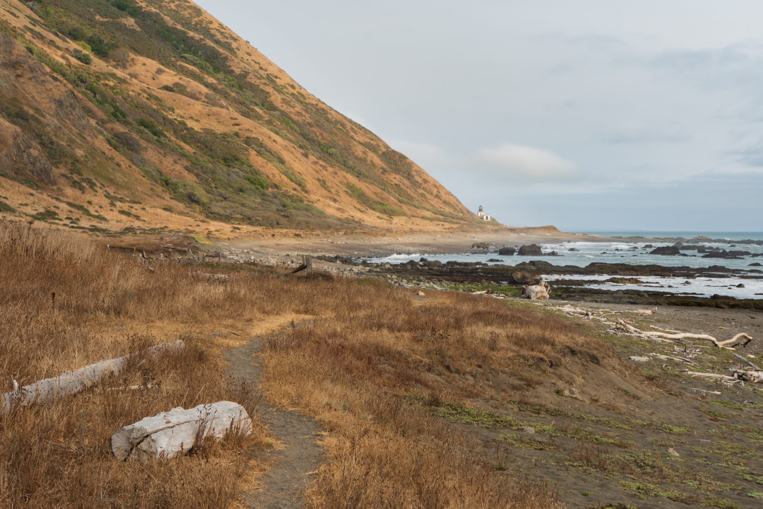
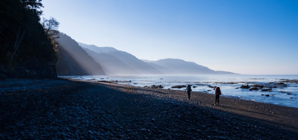
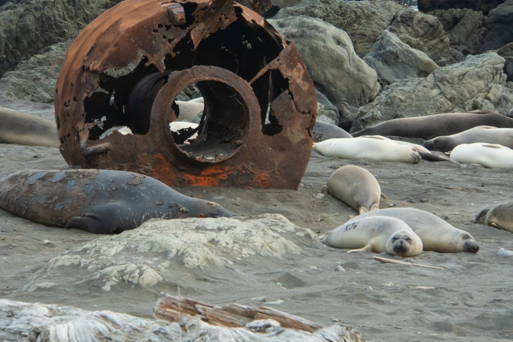
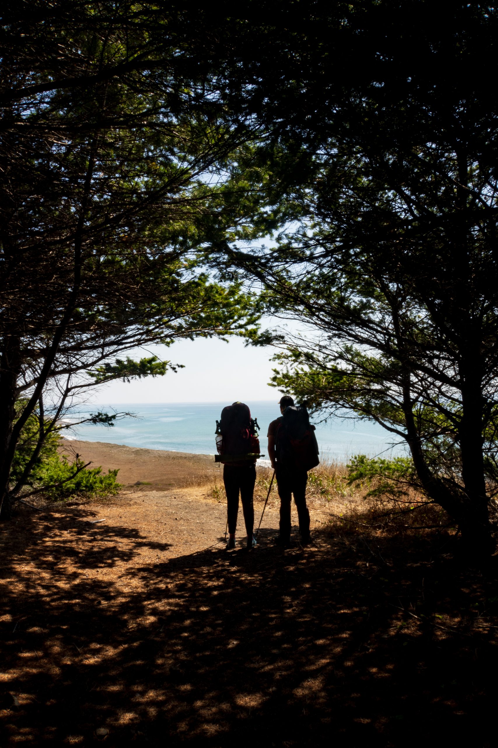
Upon setting off from Mattole, we immediately noticed the slower pace from hiking through the sand. We experimented walking on the wet sand, dry sand and on dried brush, and found that the dirt paths up in the bluffs (when available) were always preferred. After 3 miles, we reached the Punta Gorda lighthouse, historically used to deter ships from the treacherous shoreline near the coastal point, but no longer in operation today. Nearby was a colony of elephant seals including some pups. While lazily lounging most of the time, they can quickly charge if approached too closely. It was a scenic first stop that got us excited for the rest of the trail.
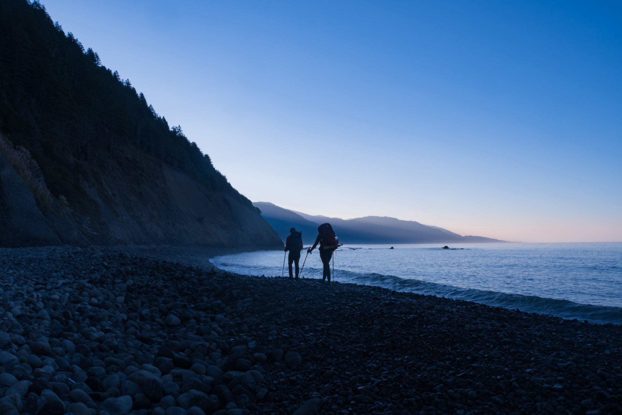
About a mile further was Sea Lion Gulch, named for the nearby rock that was packed with yelping sea lions. Unwilling to deal with the sound all night and taking advantage of low tide, we pushed on another two miles to Cooskie Creek. Partway through the intertidal zone, the beach was blocked by a large boulder with no way past that wasn’t underwater. Aware that there was an overpass on this section, we backtracked some, and then Nico and Jenna decided to take a “direct” route that resulted in a scramble up the side of the cliff. Brittany, on the other hand, displayed more patience, found a marked path, and easily beat the other two to the top. We arrived at camp right around dusk. Dinner was enjoyed just after dark and then we called it a night in advance of our early wake up call. We slept well after completing 6.5 miles – not bad given that we didn’t start until 4 PM.
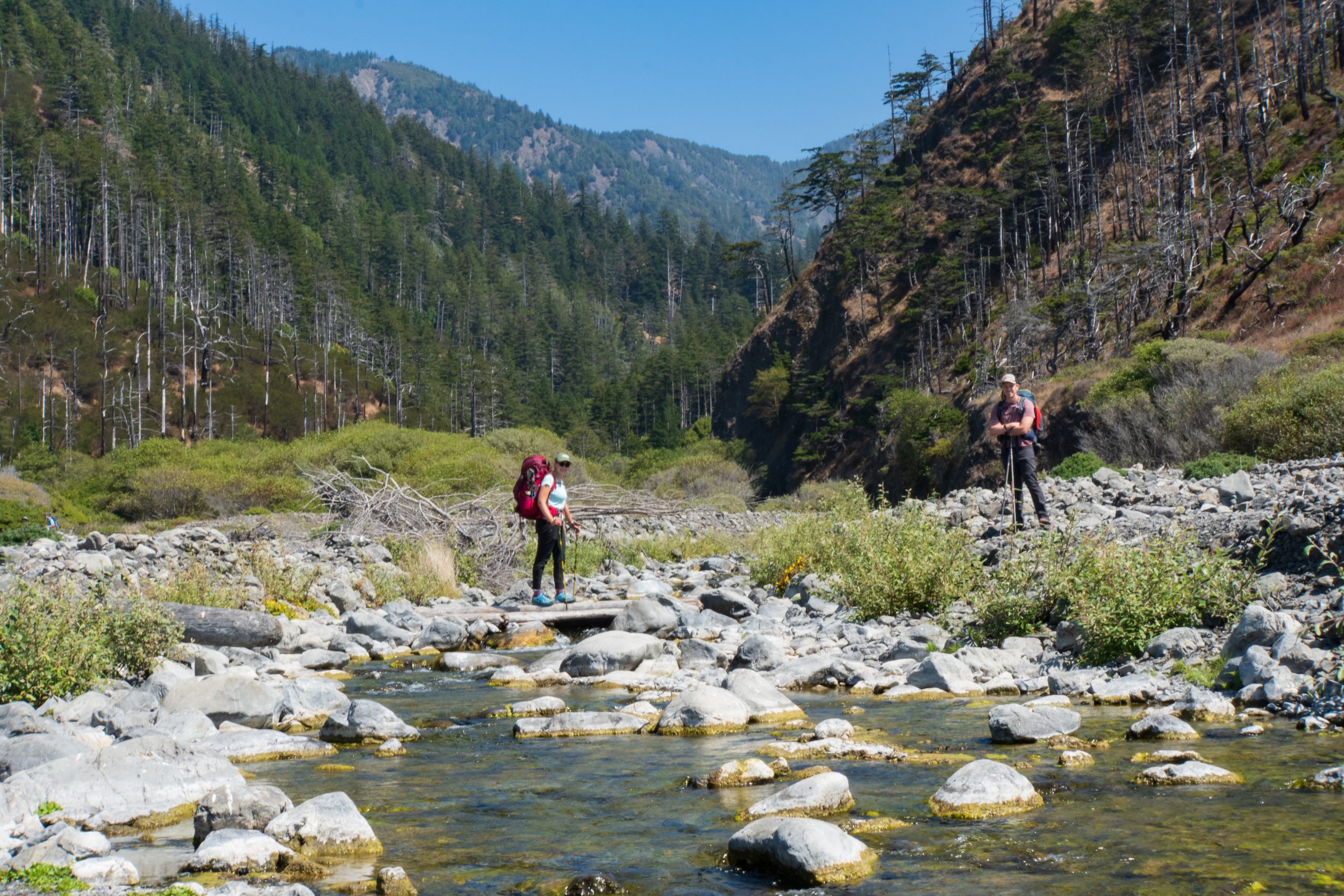
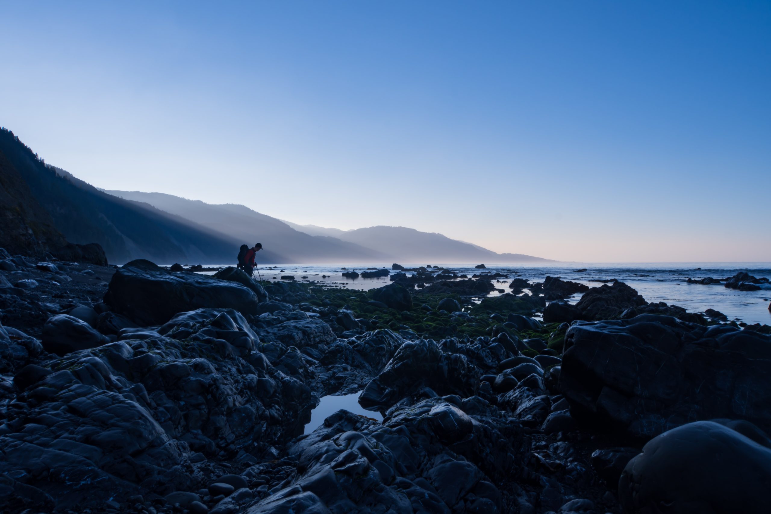
The trail has two major sections which are impassable at high tide, requiring some advance planning on hiking times (thanks, Nico!). For us, high tide was around 1 PM and 1 AM, so in order to start the intertidal zones on an outgoing tide, we got an early start in the mornings. Cooskie Creek bisects the first major intertidal zone, and we were able to camp in the canyon formed by the creek. The freshwater creeks running down the mountains every 1-2 miles made for the best camping spots due to flatter ground and the presence of filterable water.
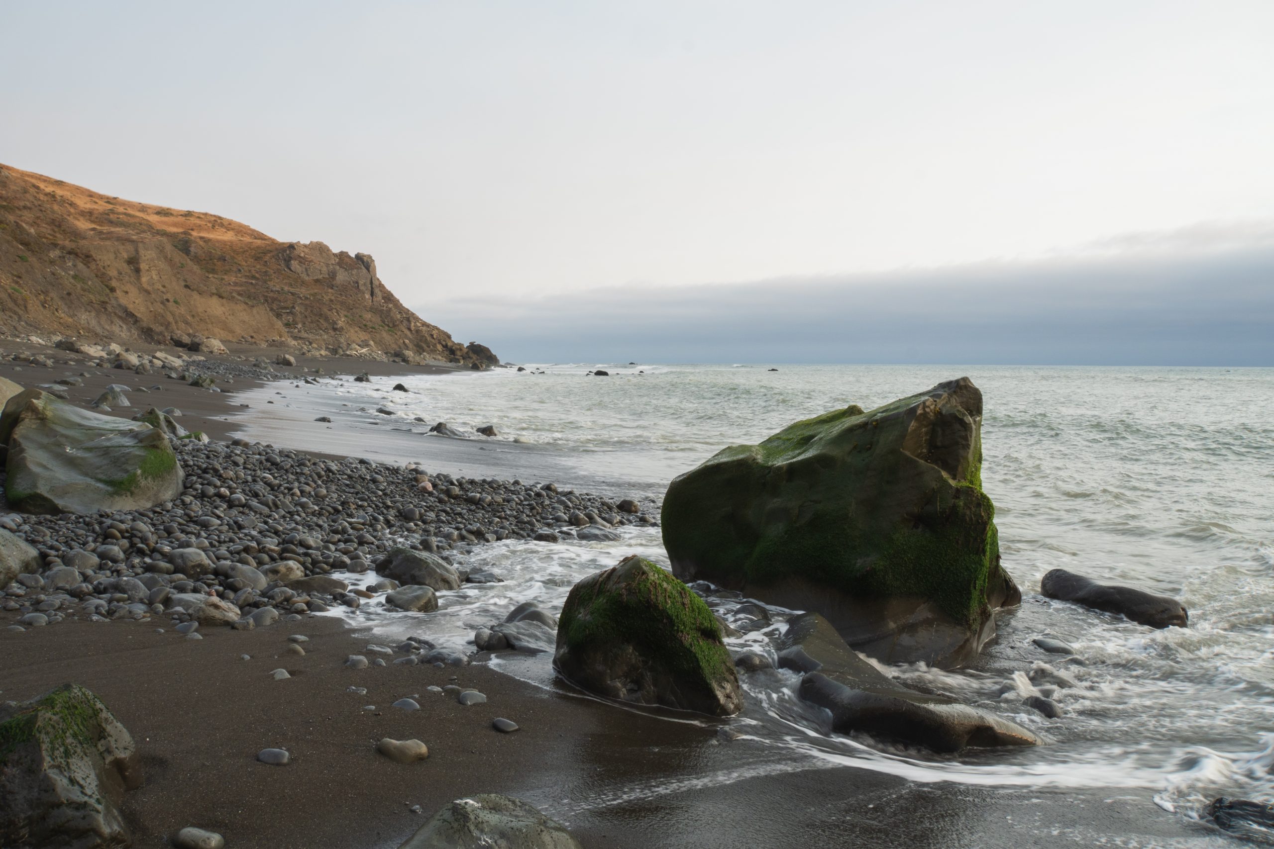
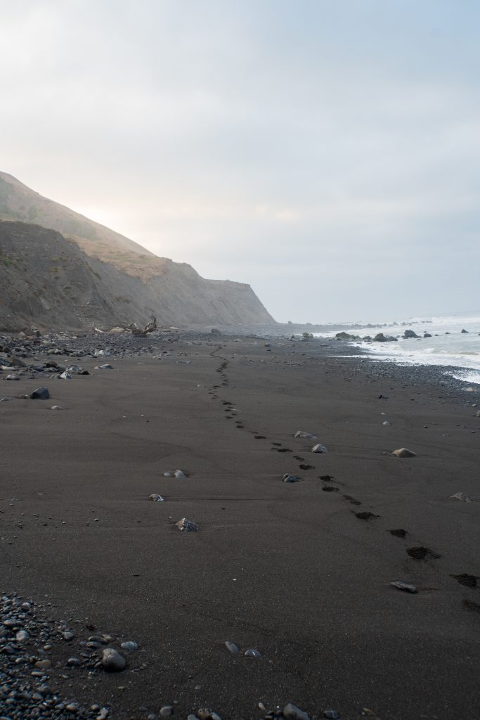
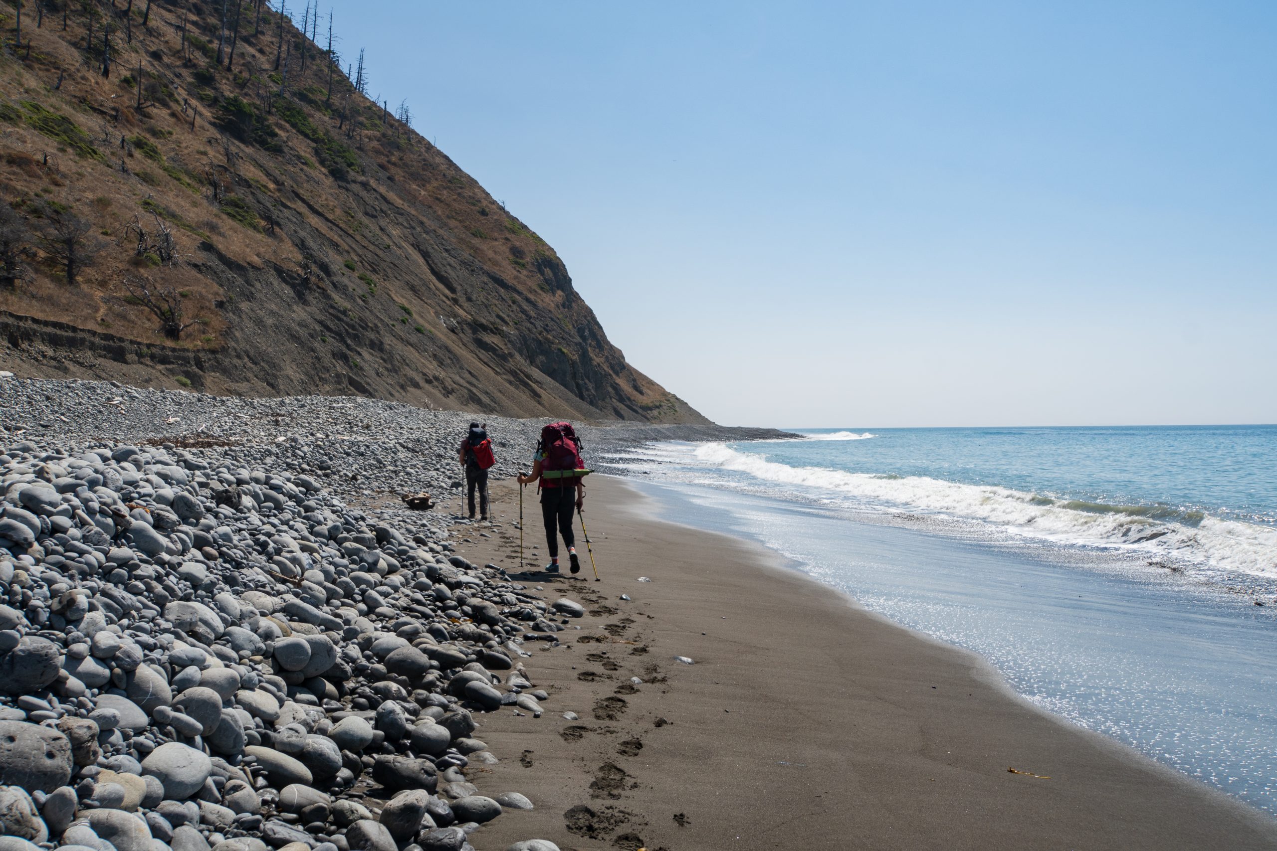
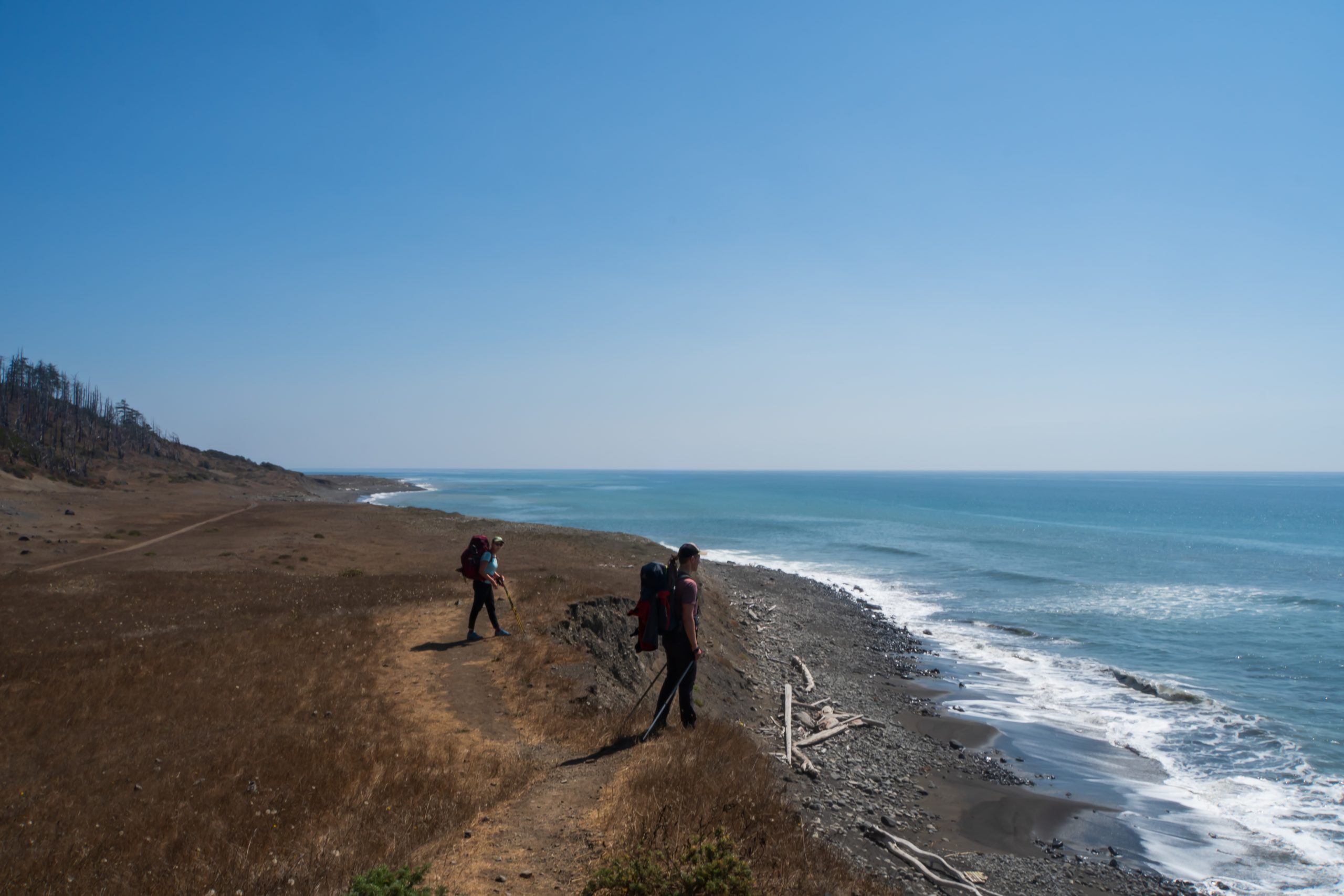
As we continued, the terrain varied from dirt paths on coastal bluffs, to sand beaches, and straight-up rock/stone piles in the tidal zones. We saw lots of stuff washed ashore below the high-water line: crab shells, sea urchins, jelly fish, and kelp. Hiking at low tide early in the morning also revealed paw prints from various animals including black bears and otters. Interestingly, human poop was to be buried on the beach in the intertidal zone where it can be carried out to sea at high tide. Disappointingly, this wasn’t always followed as we found toilet paper (which should be packed out) in shrubs and grass close to the campsites. The beach doesn’t provide the most private lavatory experience, but it sure has the best views and leaves the campsites more enjoyable for others. So make sure to do your part and leave no trace!
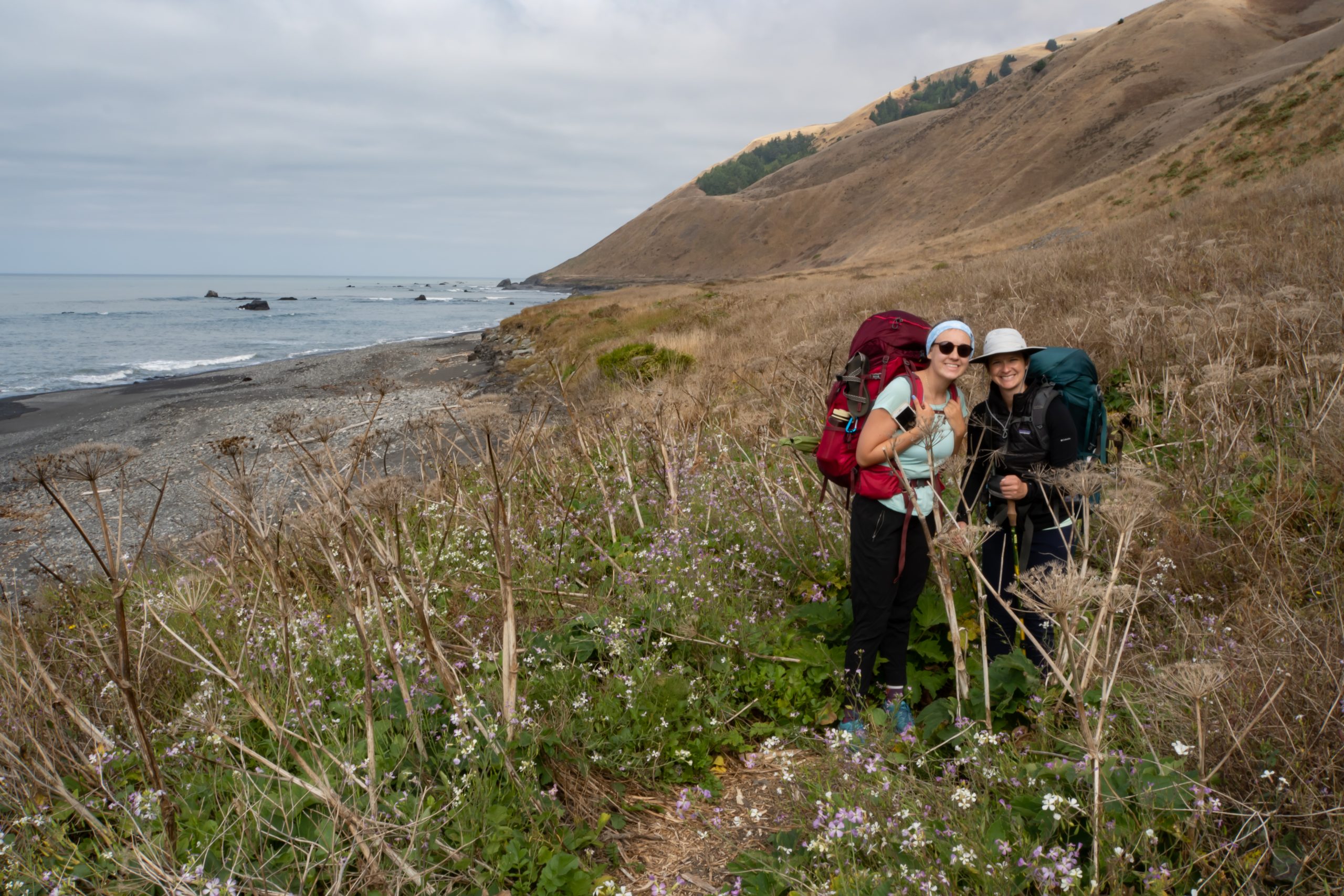
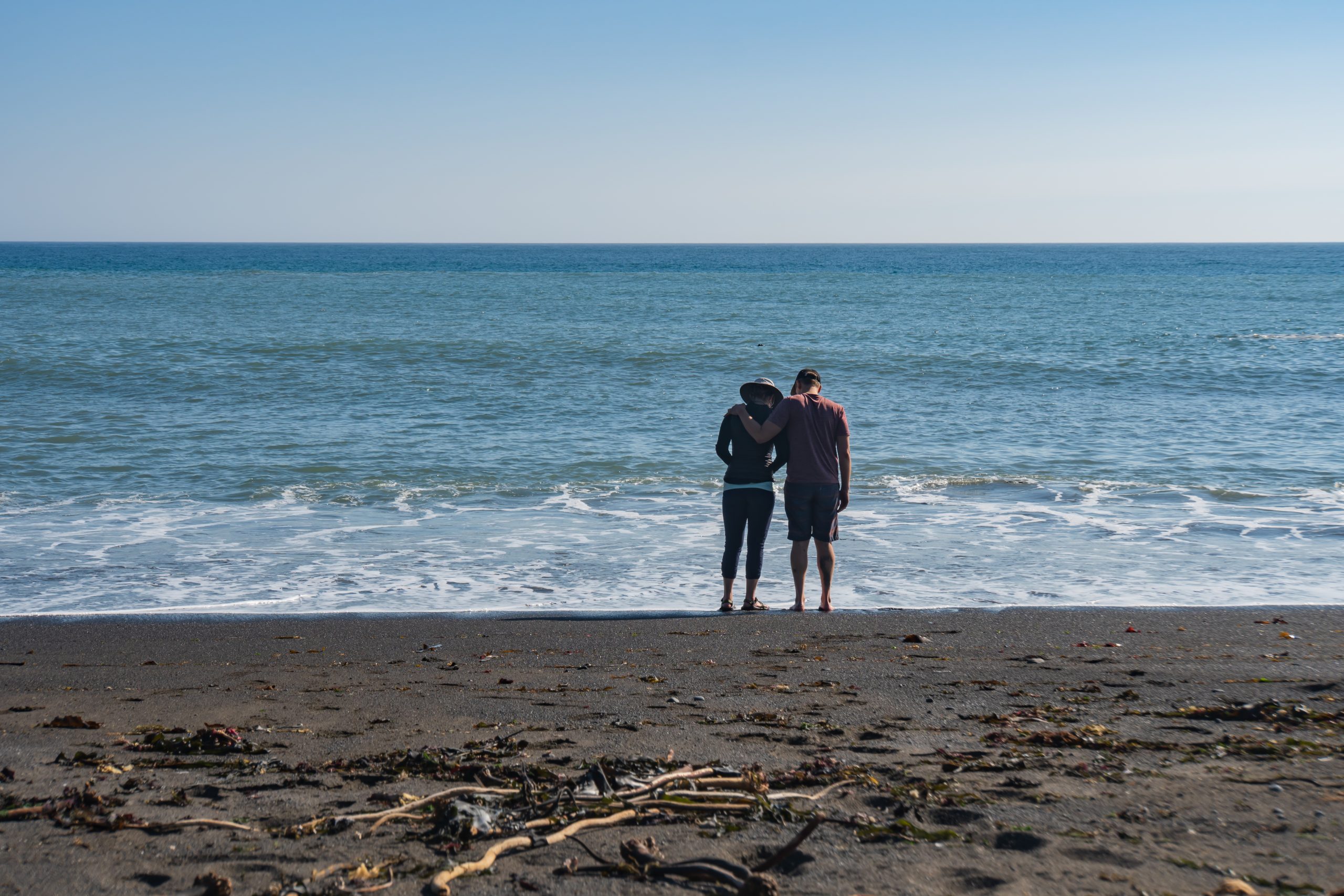
After we completed the first major intertidal zone on the morning of day 2, we were able to take it easy and stopped for a more substantial breakfast and coffee at Randall Creek. The trail then continued on bluffs and the cliff walls flattened. We passed fields of wildflowers and enjoyed dramatic views of the ocean. We made lunch (tuna on tortillas with a side of peanut M&Ms) on a soft sand beach, sitting on a big tree log while watching the waves roll in. We gave our feet some relief by dipping them in the refreshing water before pushing on over a mix of bluffs and rock fields.
We arrived at Big Flat around 3 PM and set up camp, after 10 miles of travel. There were a number of other hikers enjoying the sun and views while waiting for low tide to continue to other campsites. Big Flat is known for good waves and we actually saw a surfer that had trekked in carrying his board. We enjoyed a relaxed afternoon in camp, contemplating a dip in the water but deferring to the next day when it was predicted to be warmer.
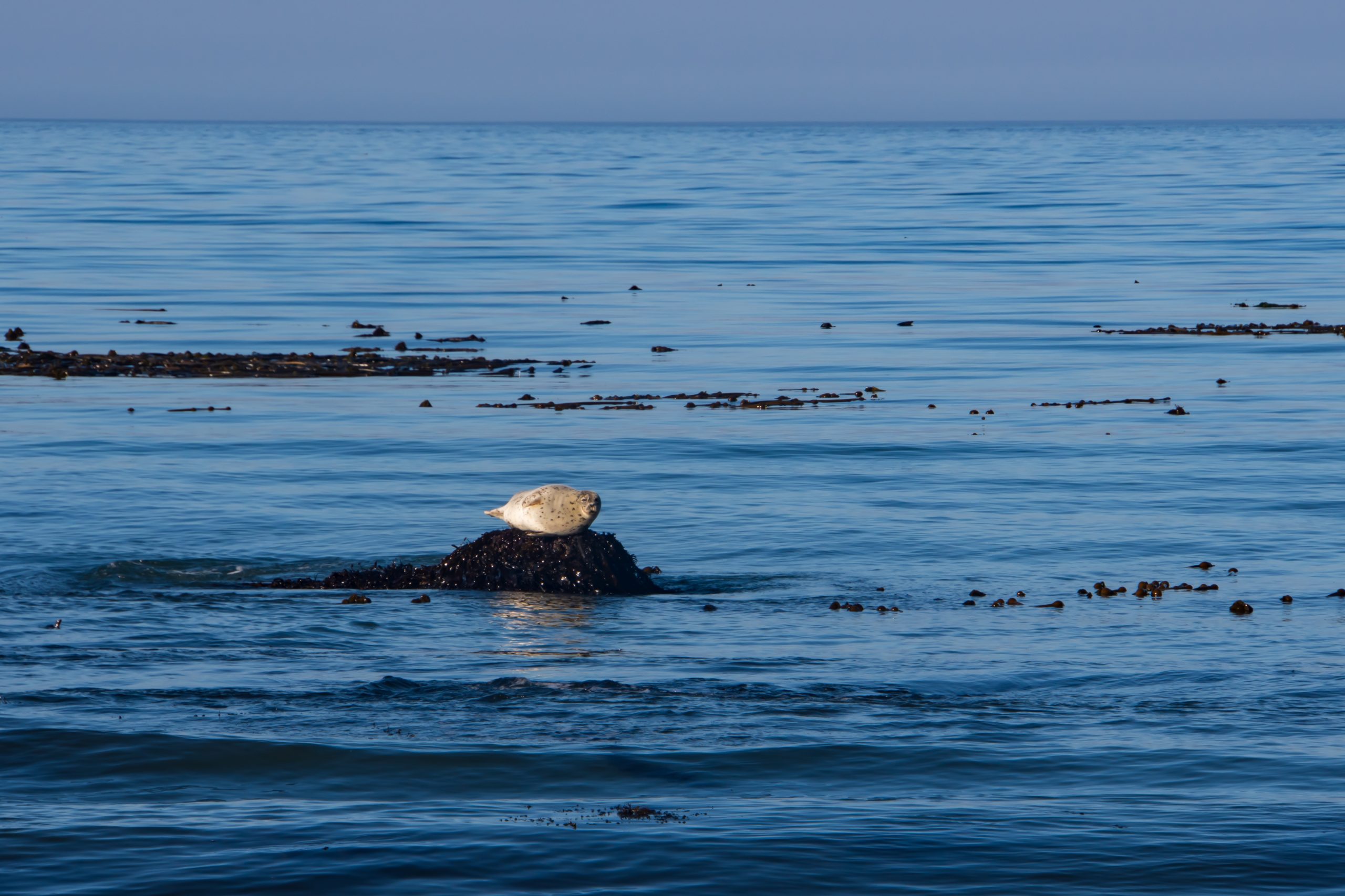
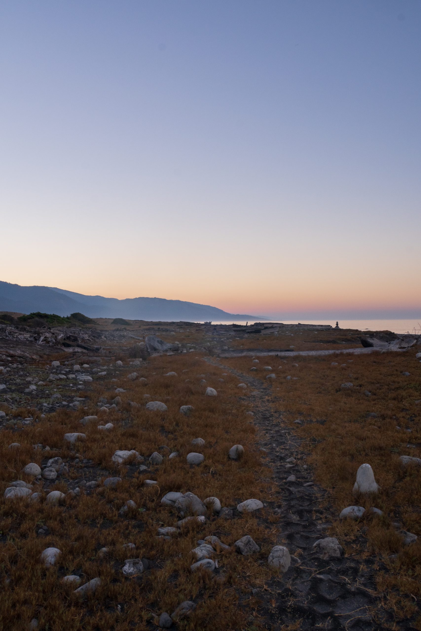
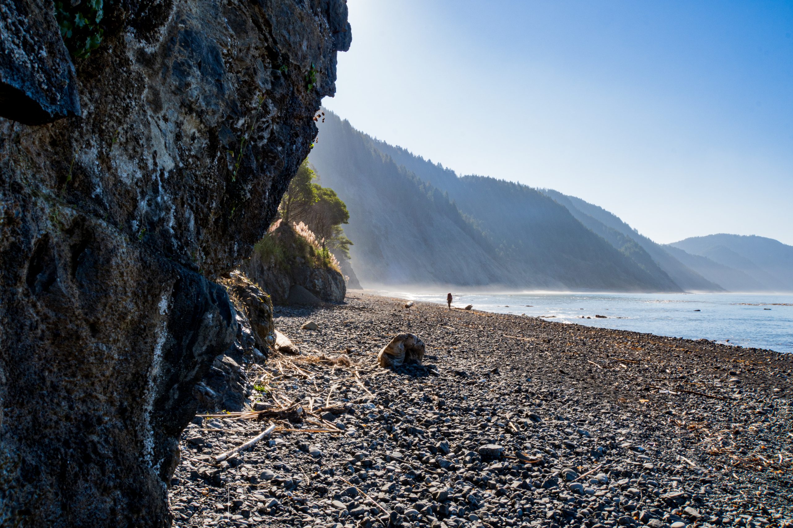
Day 3 called for another early wake up due to crossing the longest 4.5-mile intertidal zone. The flats quickly turned into steeper cliff faces and our journey required scrambling over wet boulders. The morning sunrise afforded the best views of the trip, with a dramatic combination of sun rays and shadows being cast over the sand and ocean from between the mountain ridges. There were tide pools among the rocks and seals watching us from afar. We also followed a set of bear prints (it looked like a mom and her cubs) headed in the same direction and kept an eye out for furry visitors ahead. Luckily, there were no bear encounters and just spectacular sights along this rugged stretch of coastline. A bear canister is required along the trail as the bears can frequent the beach areas, especially in drought years, in search of food.
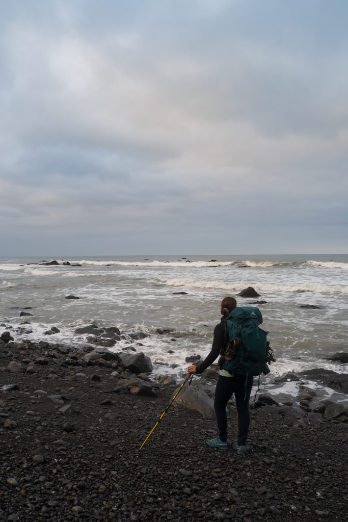
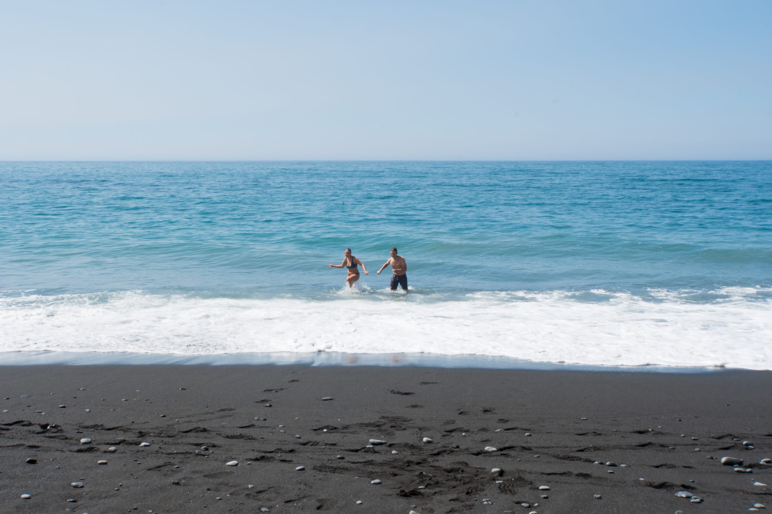
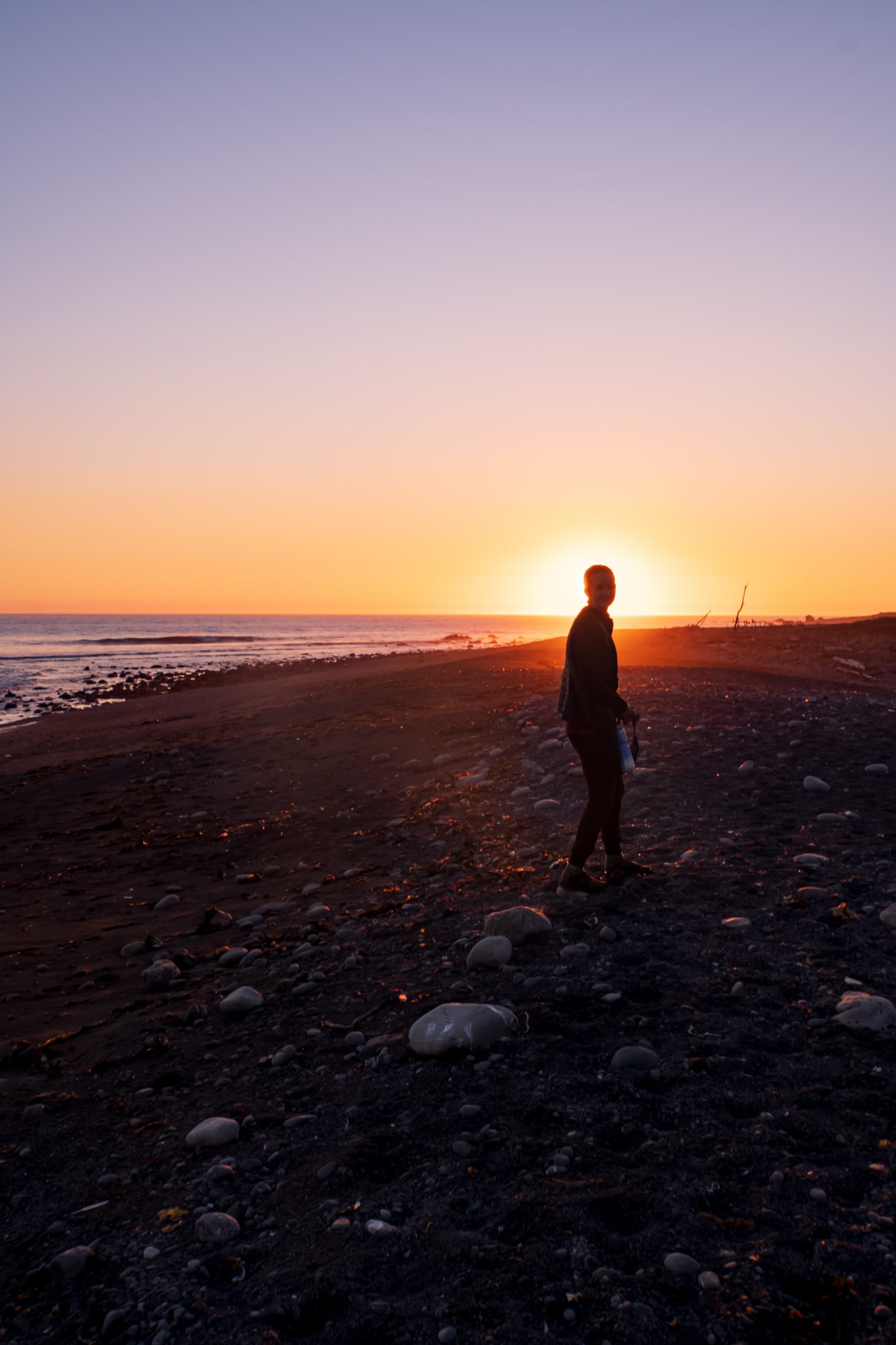
After finishing the intertidal zone, we arrived at what we thought would be camp for the night before noon. However, we weren’t thrilled with the campsite due to lack of sun cover (this was by far the hottest day) and an abundance of flies due to stagnant water, so we just took an extended break and agreed to keep going. Arriving at the next creek, we realized that we were only 2 more miles from the southern trailhead, so we decided to go out a day early. But first, we spent some time at the creek, eating our lunch, relaxing in the sun, and taking a dip in the chilly North Coast waters. We finished the trail around 4 PM, after a 9-mile day, and were looking forward to showers and food that wasn’t freeze-dried or wrapped in a tortilla (or so we thought – we ended up having Mexican food for dinner).
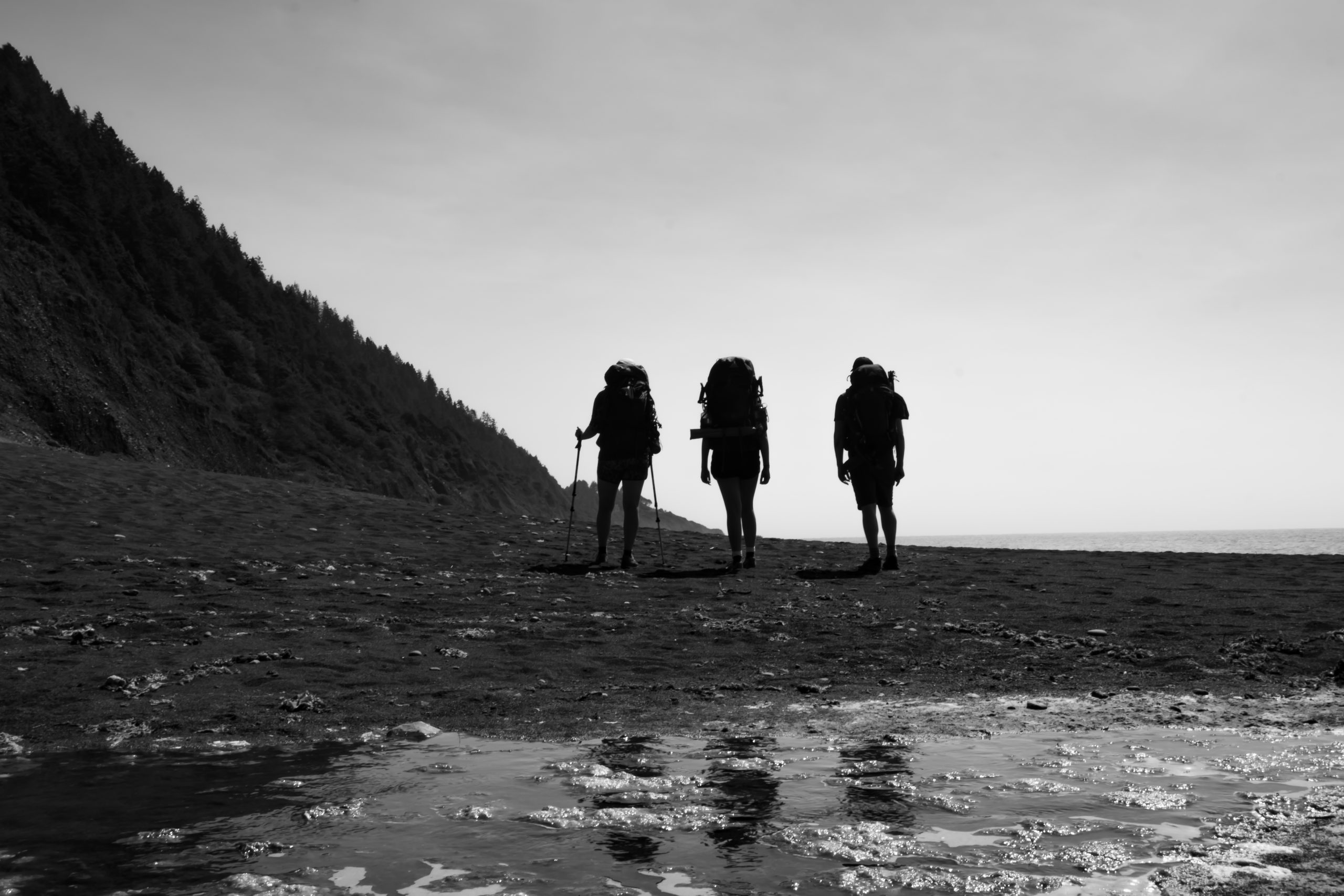
Overall, we really enjoyed our trip. Hiking along the coast with a constant sea breeze, learning tide tables, and spotting marine animals was a really unique experience. The coastal views at sunrise and sunset were stellar, and it felt quite remote. There were only a few things we would have done differently. We would have gotten an earlier start on the first day – we had a decent distance to cover and got into camp pretty late. Also, not all campsites are created equal, so we would have targeted staying at Randall Creek and/or Shipman Creek. Finally, the King Range map from National Conservation Lands that’s available for free at the airport and visitor center is far superior to the Wilderness Express map that we purchased for $10 online.
In addition to the Lost Coast, California’s northern coast features plenty of redwood parks and more incredible coastline. We spent 3 days after our backpacking trip exploring the outdoors of Mendocino, Humboldt and Del Norte counties which was well worth the extra time.
I love reading about your adventures. You are able to capture and moment and really depict such detail that I feel like I’m along the journey with you! Thank you for sharing your adventure, love you both! ❤️
* it should be capture the moment * sigh lol